Geographical Information System (GIS) Services
IMC GSL: Experts in Geo-science
GEOGRAPHICAL INFORMATION SYSTEM (GIS) SERVICES
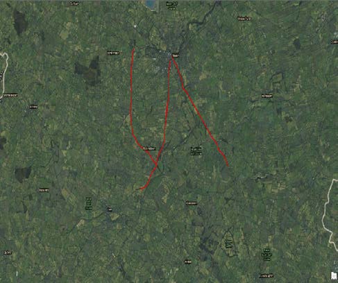
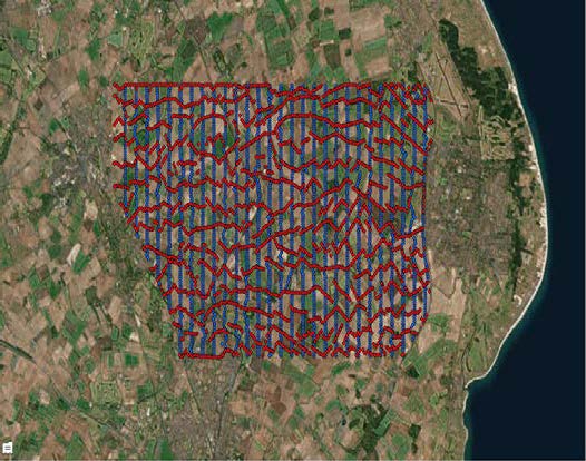
In-house GIS support using the latest Arc GIS (ESRI) software.
- For the planning of new projects, survey design, costing; logistics, mapping of restricted areas, permitting.
- Project mapping throughout a 2D/3D survey detailing Actual vs Preplan surveyed locations.
PROJECT
DESIGN &
MANAGEMENT
PROJECT
MANAGEMENT
.
GEOGRAPHICAL INFORMATION SYSTEM SERVICES
SEISMIC DATA PROCESSING & REPROCESSING
VSP
DATA
PROCESSING
DATA PROCESSING HARDWARE & SOFTWARE
SEISMIC
DATA
INTERPRETATION


